
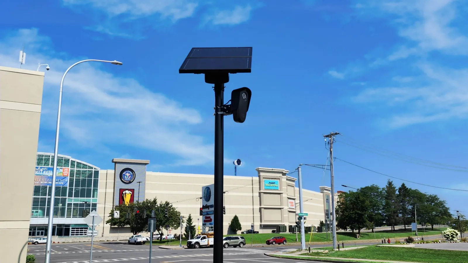


MapQuest has added a “Surveillance Layer” to its iOS and Android apps that marks the locations of known automated license plate readers (ALPRs) and outdoor surveillance cameras on the map, turning a tool once used mostly for driving directions into a crowdsourced view of roadside surveillance infrastructure.
First promoted by MapQuest in an October 15 social media post, the layer can be toggled on from the app’s Map Options screen alongside traffic and incident overlays. According to Motor1, cameras appear as eye icons on the map, sometimes accompanied by a red shaded cone showing the direction a camera faces.
What the layer shows
The feature flags equipment from multiple vendors, including Flock Safety, Motorola Solutions (Vigilant), Genetec, Axis Communications, Axon, Leonardo (ELSAG), Neology, Rekor, PlateSmart, Ubicquia and Verkada, according to coverage from Straight Arrow News and TechRadar.
TechRadar reports that Flock Safety alone has more than 120,000 cameras installed across the United States. Straight Arrow News notes that DeFlock, an open-source project that lets anyone submit license plate reader locations, lists nearly 144,000 cameras in operation across the country, and that MapQuest appears to have drawn much of its layer’s data from that project. Mashable, citing MapQuest’s terms, reported that the data is sourced from OpenStreetMap contributors.
None of the reporting ties the feature to a software vulnerability. There are no CVE identifiers, vendor advisories or CISA actions associated with the layer itself. The security relevance is visibility: for the first time in a mainstream consumer navigation app, the approximate locations of large swaths of ALPR infrastructure are surfaced to ordinary users.
What the data captures
TechRadar and Straight Arrow News report that Flock’s license plate readers record more than plate numbers, logging vehicle characteristics such as make, model, color and visible accessories into what the company calls a “vehicle signature.” Flock states that its system does not use biometric data or facial recognition.
What to expect from the data
The layer comes with clear limitations. Motor1 reports that MapQuest relies on users to flag surveillance equipment, that the data set does not update in real time, and that the company characterizes the layer as a snapshot of known locations rather than a complete or authoritative inventory. Straight Arrow News reports that MapQuest has not provided further technical details about how the layer works.
That incompleteness cuts both ways. Practitioners evaluating privacy exposure, or organizations assessing how visible their physical security deployments are, should not treat the layer as a registry. A camera absent from the map is not a camera that does not exist, and a marker on the map is not confirmation of a specific device or operator.
Who is affected
For MapQuest users, the layer is opt-in and purely informational. For communities and organizations operating ALPR or outdoor camera deployments from the listed vendors, the feature adds a new avenue of public visibility into equipment locations that may previously have required digging through government procurement records or open-source mapping projects such as DeFlock or OpenStreetMap.